Videti više, razumeti bolje.
Snimanje Dronom, 3D Modeli i Prostorna Analiza u jednom rešenju
Artefakt donosi savremena rešenja kroz 3D skeniranje, fotogrametriju i snimanje dronom.
 3D Skeniranje i Mapiranje
Detaljno 3D skeniranje i mapiranje objekata i prostora uz najsavremenije metode fotogrametrije. Omogućavamo verne digitalne blizance za građevinarstvo, arhitekturu i očuvanje kulturne baštine.
 Profesionalno Snimanje Dronom
Profesionalno snimanje dronom iz vazduha – od dinamičnih video snimaka i fotografija do izrade preciznih ortofoto mapa. Idealno rešenje za urbanizam, poljoprivredu, građevinske projekte i planiranje ugradnje solarnih panela.
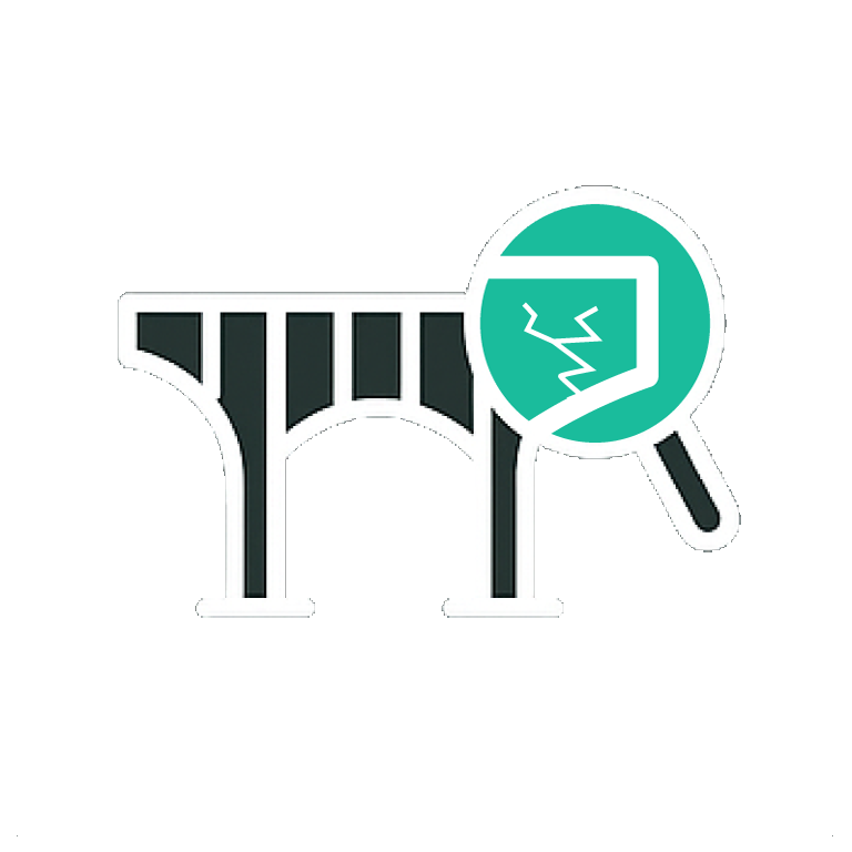 Inspekcija Infrastrukture
Detaljna i bezbedna inspekcija objekata, terena i infrastrukture, od krovova i industrijskih kompleksa do telekomunikacionih tornjeva, vetroturbina, dalekovoda i mostova, uz precizne snimke i brzu procenu stanja.
 Konzervacija Kulturne Baštine
U Artefaktu, posebno mesto zauzima dokumentovanje i očuvanje lokaliteta od kulturnog značaja kroz proizvodnju digitalnih blizanaca, fotografije, video snimaka, kao i interaktivnih VR rešenja.
O Artefaktu
Artefakt je osnovan 2003. godine sa jasnom misijom – precizno i pouzdano prikupljanje, skladištenje i obrada podataka. Tokom više od dve decenije razvili smo ekspertizu u oblasti 3D skeniranja, fotogrametrije i snimanja dronom, oslanjajući se na inovacije i vrhunsku opremu.
Bilo da je reč o građevinarstvu, infrastrukturi, poljoprivredi, obnovljivoj energiji ili očuvanju kulturne baštine – naša rešenja doprinose svakom od ovih sektora. Klijentima pružamo rešenja uz pomoć kojih omogućavamo brže donošenje pravih odluka, optimizaciju troškova i kvalitetne rezultate.
Naše prednosti
✓ Sertifikovani piloti sa iskustvom
Sigurnost i profesionalizam na terenu
✓ Personalizovani radni procesi za obradu podataka
Prilagodljivost i efikasnost za svaku potrebu
✓ Savremena oprema sa centimetarskom preciznošću
Preciznost kao osnova svega
✓ Skalabilna rešenja za projekte svih obima
Od par metara kvadratnih do više stotina hektara
Ukoliko želite da unapredite svoje procese snimanja, inspekcije i planiranja
Zakažite besplatnu konsultaciju sa nama