

See everything. Decide with confidence.
Drone-Based Data Capture, 3D Modeling & Cultural Heritage Preservation
Artefact brings together drone imaging, 3D modeling, and aerial inspections to help you capture accurate spatial data and make smarter decisions in less time.
 3D Drone Mapping, Data Collection & Geospatial Analysis
We use advanced drone mapping and photogrammetry to create accurate 3D models and orthophotos of terrain and structures. Ideal for construction, architecture, and heritage projects, our workflows ensure spatial accuracy and high-resolution visual data.
 Aerial Photo & Video
Our drone professionals capture high-resolution photography and cinematic 4K video, ideal for real estate marketing, tourism, construction progress tracking, and project documentation—delivering sharp, striking aerial content from a unique overhead perspective.
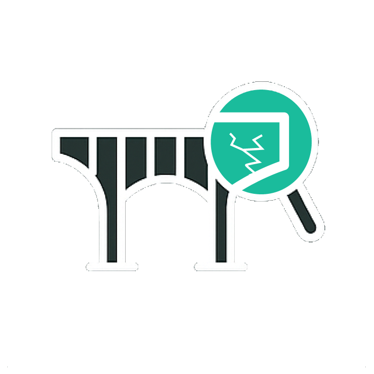 Infrastructure Inspection
We conduct safe, efficient drone inspections of rooftops, industrial assets, solar panels, and utility lines. Using high-resolution visual and thermal sensors, Artefact detects structural issues early, minimizing downtime and reducing operational risks.
 Cultural Heritage Conservation
Preserving history demands accuracy. Artefact supports cultural heritage projects with high-resolution aerial imagery and precise digital twins, enabling researchers and conservators to document, analyze, and protect historically significant sites.
Precision Is Our Baseline
With a foundation in digital archiving and data management since 2003, Artefact has grown into a trusted provider of drone mapping, 3D modeling, and spatial data services. Our early experience with digital workflows shaped a precise, data-driven approach to aerial imaging and geospatial solutions.
Today, we offer end-to-end services, from aerial data acquisition and 3D modeling to orthophoto creation, cloud storage, and geospatial analysis. Artefact supports infrastructure, energy, construction, and heritage preservation projects with technical expertise and consistent, measurable results.
Why Professionals Trust Artefact
✓ Certified drone pilots with technical expertise
Licensed, trained, and safety-compliant operators
✓ Tailored workflows for each use case
Custom flight plans and data capture
✓ Industry-grade sensors and modeling tools
Survey-grade drones and processing software
✓ Scalable operations for projects of any size
Flexible for small or large sites
Request a Quote for Your Project
Get in touch for a free consultation and see how we can support your goals